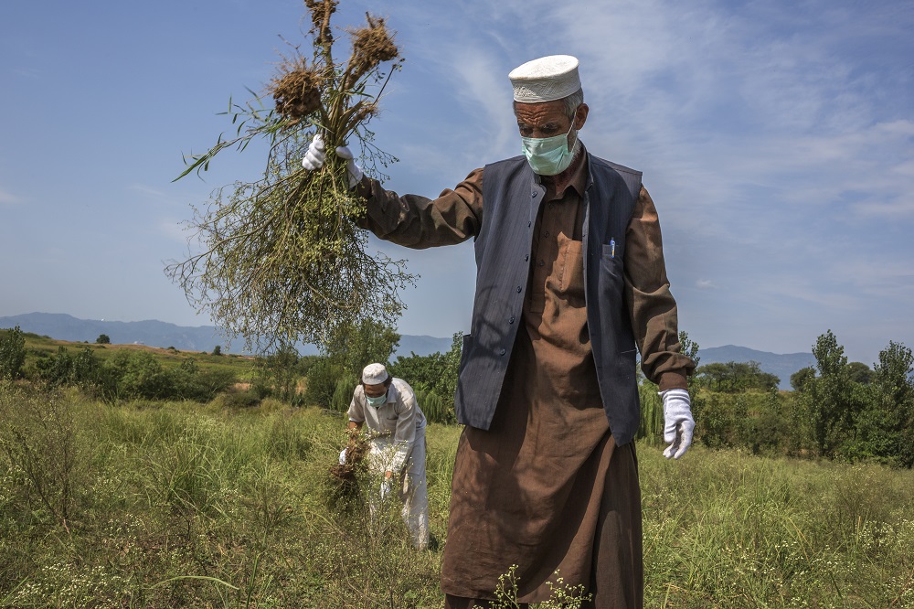
Parthenium hysterophorus is a nasty noxious weed – considered the seventh most devastating weed across the globe – that not only poses a serious threat to food security but also to livestock and human health.
Indeed, it is little surprise that those blighted by the species have labelled it the ‘famine weed’ for its ability to decimate crops by as much as 90% in extreme cases. For that reason, scientists are keen to get a grip on Parthenium by mapping its distribution as part of plans to mitigate its impact on key crops such as rice and wheat.
Now scientists, including CABI’s Abdul Rehman, Deputy Director Programme – based in Satellite Town, Pakistan – and Dr Julien Godwin, Head of Project Operations, Digital Development, believe they are a step closer in being able to utilise state-of-the-art digital technology in mapping the spread of Parthenium in Pakistan and beyond.
Mr Rehman and Dr Godwin teamed up with colleagues from the Institute of Space Technology and the University of Peshawar as part of new research, published in Ecological Informatics, which reveals that hyperspectral data is capable of discerning Parthenium hysterophorus from other crops and plant species and also highlights the importance of few wavelength positions for the spectral discrimination of the weed.
Hyperspectral imaging, like other spectral imaging, collects and processes information from across the electromagnetic spectrum. The goal of hyperspectral imaging is to obtain the spectrum for each pixel in the image of a scene, with the purpose of finding objects, identifying materials, or detecting processes.
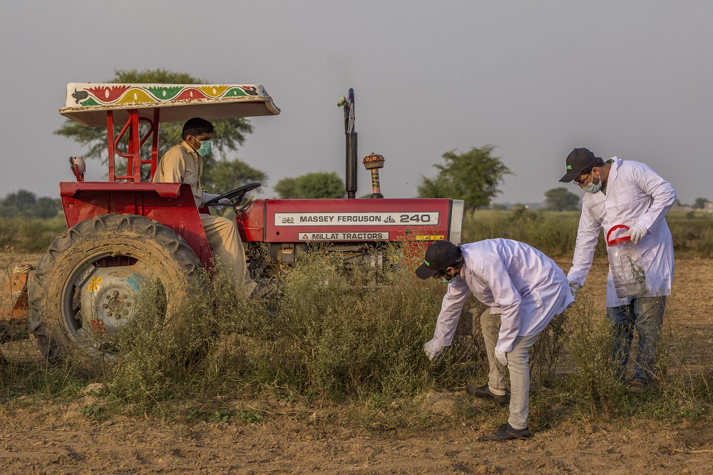
Conventional ways of identifying and mapping Parthenium are too expensive, time-consuming, labour-intensive and often tedious but a new generation of Earth observation data offers the chance to identify Parthenium at large scale across Pakistan. However, it has largely been underutilised in an application to map weeds – until now. Remote sensing offers the possibility to map vegetation species at low cost, quickly and over an extended geographical area.
Lead researcher, Dr Saleem Ullah from the Institute of Space Technology, in the paper, said, “Hyperspectral remote sensing in particular is highly valuable in discerning vegetation species and mapping its distribution at field and landscape levels.
“But the data obtained is sensitive to capture the minute variation in spectral responses of different plant species. The variation in spectral responses are associated with differences in the biophysical and biochemical characteristics of different plant types – this proving hyperspectral data is very effective for discerning vegetation at species level.”
Genetic Algorithm (GA) and Spectral Angle Mapper (SAM) were used together to discern Parthenium hysterophorus from other co-occurring species and to select the optimal subset of wavebands. GA-SAM selected fifteen optimal spectral wavebands and yielded very high classification accuracies. In fact, the GA-SAM produced not only high classification accuracy but also reduced the dimensionality of the hyperspectral data.
Dr Godwin said, “The outcome of this study will help facilitate more precise weed control and enhance the productivity of agricultural crops as well as protect native species from exotic invasion.
“The work performed by Dr Ullah’s team was developed as a project developed following a workshop involving researchers from Pakistan, CABI and the University of Manchester as part of a grant from the Science and Technology Facilities Council to study Parthenium in Pakistan.
“We hope that further research from this work will be able to test the applicability of the applied techniques at space borne levels using Sentinel-2, Landsat, EnMAP or Hysp(R) data to discern Parthenium hysterophorus from other crops at field, local and regional scales.”
Additional information
Main photo: Parthenium affects crop yields by as much as 90%, and has serious impacts on human and livestock health. However, the extent of its spread is largely unknown(Copyright: Asim Hafeez for CABI)
Full paper reference
Saleem Ullah, Muhammad Shakir, Muhammad Shadid Iqbal, Arshad Iqbal, Muhammad Ali, Muhammad Shafique, Abdul Rehman, Julien Godwin, ‘Identifying optimal waveband positions for discriminating Parthenium hysterophorus using hyperspectral data,’ Ecological Informatics, Volume 64, 2021, DOI: 10.1016/j.ecoinf.2021.101362
The paper is available to read here: https://www.sciencedirect.com/science/article/abs/pii/S1574954121001539?via%3Dihub
Funding acknowledgement
The authors acknowledge the support of the Science and Technology Facilities Council (STFC; Grant ST/R003009/1).
Project page
Find out more about how CABI is working in partnership to help map Parthenium in the major arable regions of Pakistan from the dedicated project page ‘Remote sensing use for mapping Parthenium in Pakistan.’
Related News & Blogs
First parthenium biocontrol agent approved for release in Pakistan
The stem boring weevil Listronotus steosipennis has been approved for release as a biocontrol agent for the management of Parthenium hysterophorus in Pakistan. Parthenium has spread throughout much of the country causing problems in both rural and urba…
10 December 2021


